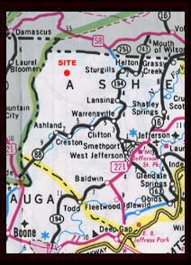
| Weather data is collected in a rural area of North Carolina-Little Horse Creek. Located in the Blue Ridge Mountains, in the far Northwest corner of the state, it's about 10 miles to Virginia and 10 to Tennessee. Boone is 45 miles south, Charlotte 120 south and Raleigh 200 miles southeast. The county is Ashe, the largest town, West Jefferson. |
|
|
Weather data is updated every 30 minutes under normal operation,
beginning on the hour. If your browser doesn't update
properly, press and hold down the SHIFT key and click the refresh or reload tab.
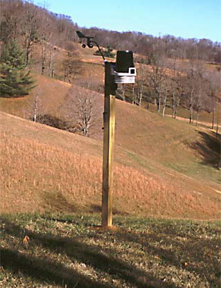
This station was installed on Nov. 6 of 2001.
|
COMMENTS? |
Ashe County forecast from the National Weather Service. Click the NOAA logo. |
 |
Data is collected using a Davis Instruments "Wireless Vantage Pro". For more information, click the Davis Logo. |
|